Skip to the page
Forestline

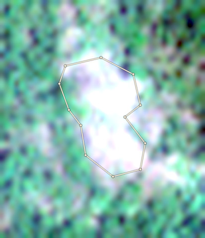
Cocoa · Cross River National Park and Afi Mountain, Cross River

Cocoa land near Cross River National Park, Cross River State

Eight farms in Cross River State, near Cross River National Park and Afi Mountain. Four are Stop, three need a person to look, and one is Clear. The shipment of everything is blocked. The shipment of the Clear lot alone is a draft.

  • 8 farms, 29.4 hectares
  • 1 Clear, 3 Check, 4 Stop
  • 1 of 8 farms in the farm location file of the proof pack that can go forward
  • Shipment S-001: Blocked: not for your EU buyer. Take lot L-002 out of this shipment, or resolve its farms first.
  • Shipment S-002: Draft pack. Land papers are missing for 1 plot: CRS-AFI-0005.
  • Plot codes use AFI for all eight farms; six are near Oban in Cross River National Park.
  • Farm edges traced from satellite photos. No farmer was contacted.
  • Weights are estimates. No bags were bought.
  • The photos cannot show the crop, so every farm is treated as cocoa.
  • Nobody has approved any shipment for an EU buyer.

The story

How this case was run.

Eight farms in Cross River State. Six are within 3 km of Cross River National Park. Two are near Afi Mountain Wildlife Sanctuary.

Forestline traced the farm edges from satellite photos. Then it checked each farm against the EU forest and tree-loss records.

Satellite photos cannot say which crop is planted. So this case treats the farms as cocoa farms, to show the checks.

Four farms are Stop and kept apart. Three are Check and wait for a person. One is Clear.

No farmer was contacted and no bags were bought. Bags and weights are estimates.

Shipment S-001 holds lots L-001 and L-002 (11,765 kg, estimated). It is blocked: not for an EU buyer. Lot L-002 (10,422 kg) is not kept apart: 7 bag groups trace to a plot that is not cleared. Mixed goods cannot be fixed by leaving plots out of the farm location file. Take lot L-002 out of this shipment, or resolve its farms first. Shipment S-002 holds lot L-001 (1,343 kg, estimated). It is a draft pack. The goods, the weights and the farm location file tie together. But land papers are missing for 1 plot: CRS-AFI-0005. No farmer or owner was contacted, so there are no papers. No one has approved any shipment for an EU buyer.

Read this first

Farm edges traced by Forestline from satellite photos near Cross River National Park. No farmer was contacted and no bags were bought. Weights are estimates from each plot's size. Not a Forestline customer.

Map data and farm edges: Copernicus Sentinel-2 photos, EU Joint Research Centre Global Forest Cover 2020, University of Maryland Global Forest Change, OpenStreetMap protected areas, Contains modified Copernicus Sentinel data; CC BY 4.0; ODbL 1.0.

Satellite photos: Copernicus Sentinel-2. Forest records: EU Joint Research Centre and University of Maryland.

The farms

8 farms · 29.4 ha · 1 Clear · 3 Check · 4 Stop

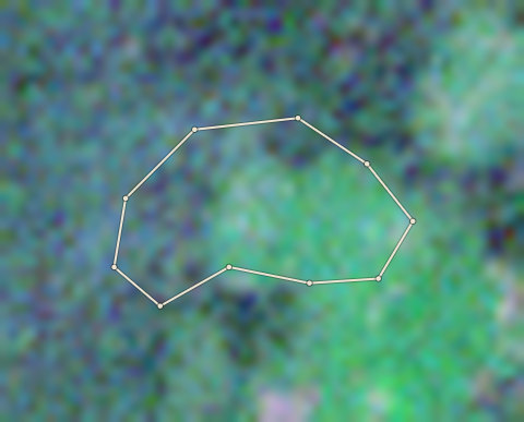
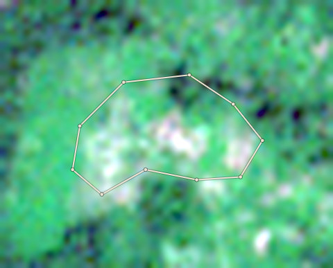
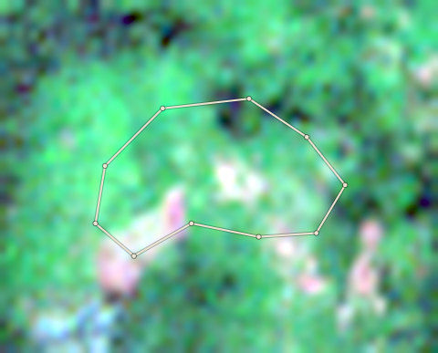
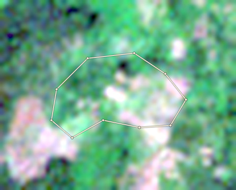
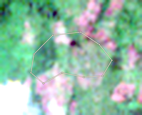
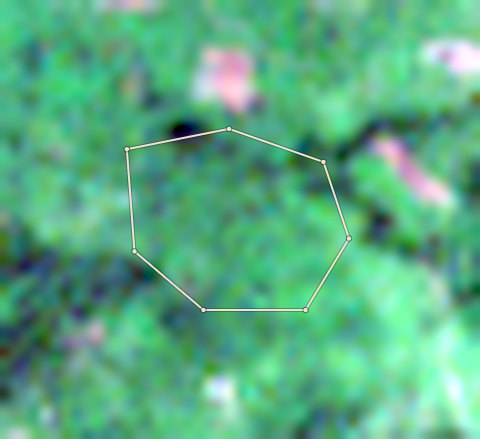
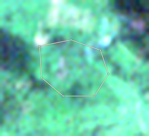
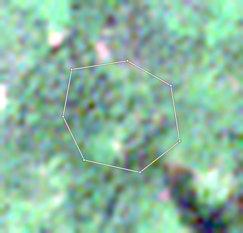
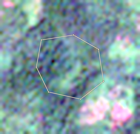
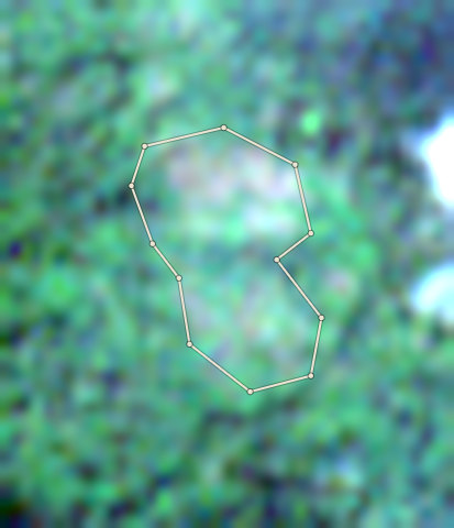
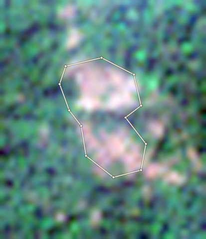
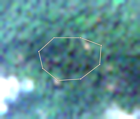
Plot CRS-AFI-0001: the latest selected photoPlot CRS-AFI-0001: the 2020 photo
⇄
2020 photo · 2020-12-05Latest selected photo · 2026-03-19
Stop

CRS-AFI-0001 · 4.5 ha

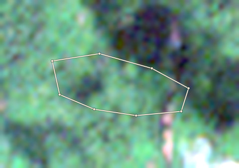
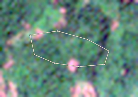
4.4 hectares of this plot was forest at the end of 2020 and has lost its trees between 2021 and 2025. That is 98% of the plot. Do not buy from it for the EU.

Plot codeAreaResultMain reason
CRS-AFI-00014.5 haStop4.4 hectares of this plot was forest at the end of 2020 and has lost its trees between 2021 and 2025. That is 98% of the plot. Do not buy from it for the EU.
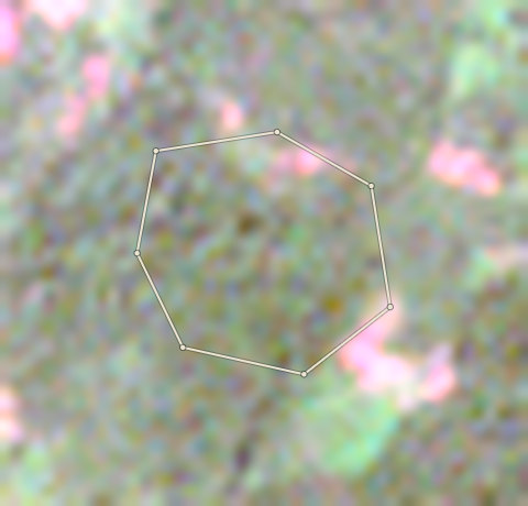
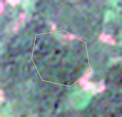
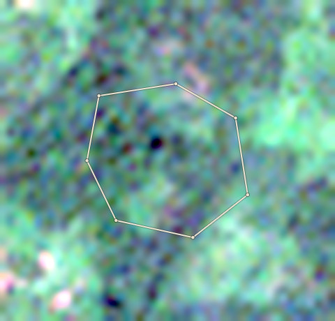
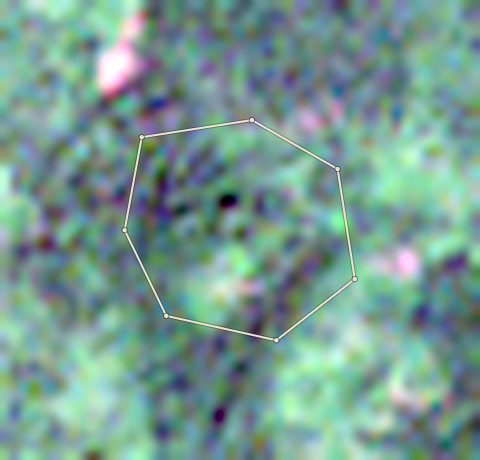
CRS-AFI-00025.8 haStop5.7 hectares of this plot was forest at the end of 2020 and has lost its trees between 2021 and 2024. That is 98% of the plot. Do not buy from it for the EU.
CRS-AFI-00033.0 haCheck0.01 hectares of this plot was forest at the end of 2020 and has lost its trees in 2021. This is below the Stop line, so a person must look at it.
CRS-AFI-00044.0 haCheckThe EU 2020 map calls 72% of this plot forest, but Forestline AI sees cocoa under shade trees. The EU map often calls shaded cocoa forest. No tree loss was found after 2020. Gather: The year the farmer first planted cocoa on this plot; Old photos or cooperative records showing the farm existed before 2021; A count of cocoa tree ages to confirm planting predates the cut-off; GPS-tagged ground photos showing cocoa under shade trees.
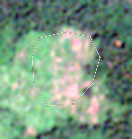
CRS-AFI-00053.4 haClearNo forest cut after 2020 was found in the records we checked, and Forestline AI read nothing different in the photos.
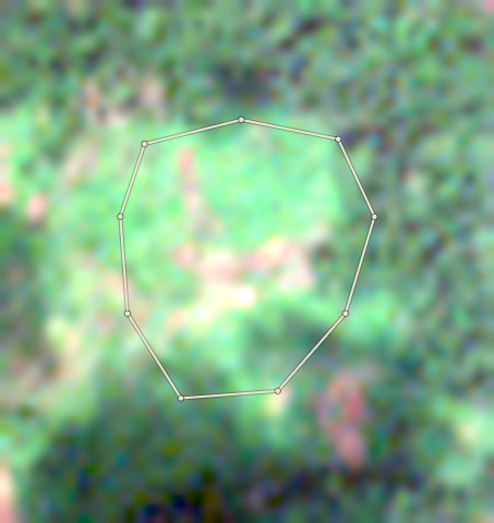
CRS-AFI-00063.5 haCheck0.33 hectares lost trees after 2020 on land the EU 2020 map does not call forest. Often this is old rubber or cocoa cut and planted again. Ask for the planting year and proof. Forestline AI: In 2020 the plot shows a dappled green canopy typical of cocoa under shade trees, with some brown patches on the right side. The latest selected photo still shows green canopy over most of the plot, but a lighter bare or cleared patch is visible near the bottom of the farm edge. The tree loss record shows 0.327 ha lost in 2025, which matches this small cleared area.
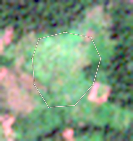
CRS-AFI-00073.0 haStop3 hectares of this plot (100%) lies inside Afi Mountain Wildlife Sanctuary (Wildlife Sanctuary). Do not buy from it for the EU.
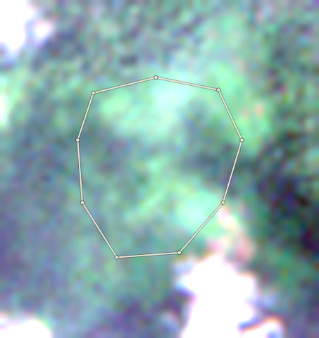
CRS-AFI-00082.3 haStop0.74 hectares of this plot was forest at the end of 2020 and has lost its trees in 2025. That is 33% of the plot. Do not buy from it for the EU.

Farm by farm

Plot CRS-AFI-0001: the latest selected photoPlot CRS-AFI-0001: the 2020 photo
⇄
2020 photo · 2020-12-05Latest selected photo · 2026-03-19

2020 photo: scene S2A_32NML_20201205_0_L2A, clouds 0%. Latest selected photo: scene S2C_32NMM_20260319_0_L2A, taken 2026-03-19, clouds 0%.
Photo timeline
  1. Satellite photo of farm CRS-AFI-0001 taken 5 Dec 2020

    2020-21

    5 Dec 2020

  2. Satellite photo of farm CRS-AFI-0001 taken 10 Dec 2021

    2021-22

    10 Dec 2021

  3. Satellite photo of farm CRS-AFI-0001 taken 15 Nov 2022

    2022-23

    15 Nov 2022

  4. Satellite photo of farm CRS-AFI-0001 taken 10 Dec 2023

    2023-24

    10 Dec 2023

  5. Satellite photo of farm CRS-AFI-0001 taken 29 Nov 2024

    2024-25

    29 Nov 2024

  6. Satellite photo of farm CRS-AFI-0001 taken 19 Mar 2026

    2025-26

    19 Mar 2026

CRS-AFI-0001

Stop

4.49 ha · farm edge traced by Forestline

  • 4.4 hectares of this plot was forest at the end of 2020 and has lost its trees between 2021 and 2025. That is 98% of the plot. Do not buy from it for the EU.
  • Satellite alerts show about 3.5 hectares of new tree loss in this plot since 2021. The latest alert is from 2025. A person must look at the latest selected photo.

Forestline AI's reading

In the 2020 photo the plot is covered by dense green canopy. In the latest selected photo large brown and bare patches are visible inside the farm edge, with only some green remaining at the edges. The facts record 4.381 ha of tree loss after the 2020 cut-off, which is nearly the whole plot.

Proof to gather: The year the farmer first planted cocoa on this plot; Old photos or satellite images showing cocoa trees under shade before 2020; Cooperative or buying-agent records proving cocoa harvests before 2021; A field visit to count tree ages and check if shade trees were natural forest or planted; Receipts for seedlings or inputs if this is a replanting.

Sources: EU Joint Research Centre Global Forest Cover 2020 (V4); University of Maryland Global Forest Change (loss counts are a rough guide, not an exact area) (GFC-2025-v1.13); Global Forest Watch integrated deforestation alerts (latest release); Copernicus Sentinel-2 satellite photos, through Earth Search (S2A_32NML_20201205_0_L2A (baseline 02.14); S2C_32NMM_20260319_0_L2A (baseline 05.12)); OpenStreetMap protected areas (partial coverage; not a legal map) (snapshot b0efa2a7, 11 areas); Forestline AI photo reading (reads the two photos; the rules decide the result) (Photo reader version 1)
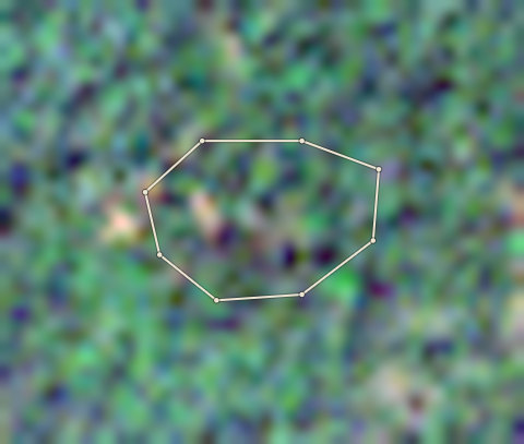
Plot CRS-AFI-0002: the latest selected photoPlot CRS-AFI-0002: the 2020 photo
⇄
2020 photo · 2020-11-20Latest selected photo · 2025-12-09

2020 photo: scene S2B_32NMM_20201120_0_L2A, clouds 0%. Latest selected photo: scene S2C_32NML_20251209_0_L2A, taken 2025-12-09, clouds 0%.

Photo timeline
  1. Satellite photo of farm CRS-AFI-0002 taken 20 Nov 2020

    2020-21

    20 Nov 2020

  2. Satellite photo of farm CRS-AFI-0002 taken 15 Nov 2021

    2021-22

    15 Nov 2021

  3. Satellite photo of farm CRS-AFI-0002 taken 15 Nov 2022

    2022-23

    15 Nov 2022

  4. Satellite photo of farm CRS-AFI-0002 taken 10 Dec 2023

    2023-24

    10 Dec 2023

  5. Satellite photo of farm CRS-AFI-0002 taken 29 Nov 2024

    2024-25

    29 Nov 2024

  6. Satellite photo of farm CRS-AFI-0002 taken 29 Nov 2025

    2025-26

    29 Nov 2025

CRS-AFI-0002

Stop

5.84 ha · farm edge traced by Forestline

  • 5.7 hectares of this plot was forest at the end of 2020 and has lost its trees between 2021 and 2024. That is 98% of the plot. Do not buy from it for the EU.
  • Satellite alerts show about 5.4 hectares of new tree loss in this plot since 2021. The latest alert is from 2022. A person must look at the latest selected photo.
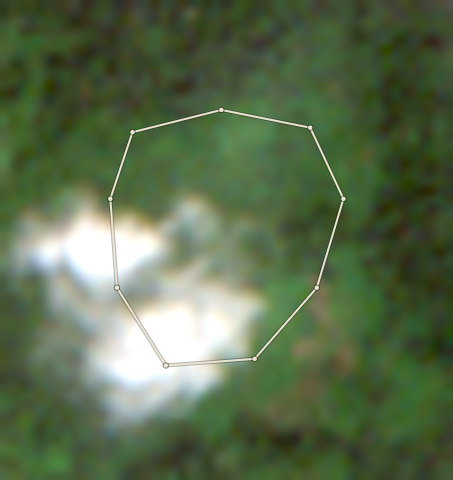
  • Forestline AI is not sure what the two photos show. A person must look at them.

Forestline AI's reading

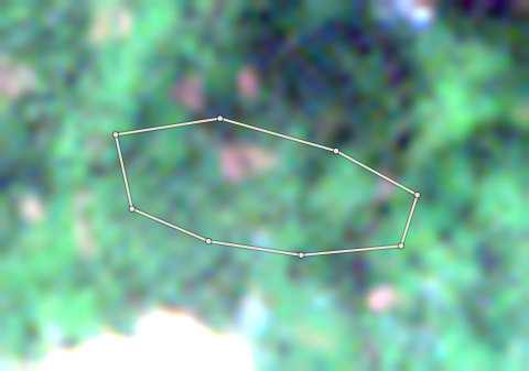
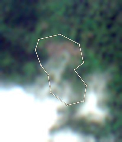
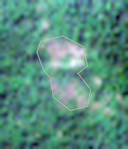
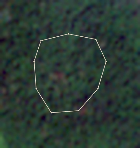
The 2020 photo shows a dappled green canopy inside the farm edge, consistent with cocoa under shade trees. The current photo has a large bright white patch covering the lower part of the plot, likely cloud or haze, making a full comparison difficult. The visible parts outside the cloud still appear green. The tree loss record shows 5.73 ha lost since 2020, mostly in 2022, but the cloud prevents confirming this from the photo.

Proof to gather: Year the farmer first planted cocoa on this plot; Old photos or videos of the farm before and after 2022; Cooperative purchase records or delivery receipts for this plot; Count of cocoa tree ages to confirm whether trees predate 2020; Receipts for seedlings or inputs if replanting occurred.

Sources: EU Joint Research Centre Global Forest Cover 2020 (V4); University of Maryland Global Forest Change (loss counts are a rough guide, not an exact area) (GFC-2025-v1.13); Global Forest Watch integrated deforestation alerts (latest release); Copernicus Sentinel-2 satellite photos, through Earth Search (S2B_32NMM_20201120_0_L2A (baseline 02.14); S2C_32NML_20251209_0_L2A (baseline 05.11)); OpenStreetMap protected areas (partial coverage; not a legal map) (snapshot b0efa2a7, 11 areas); Forestline AI photo reading (reads the two photos; the rules decide the result) (Photo reader version 1)
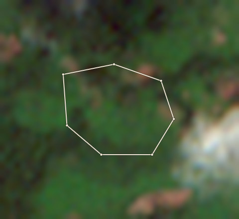
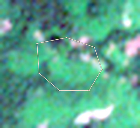
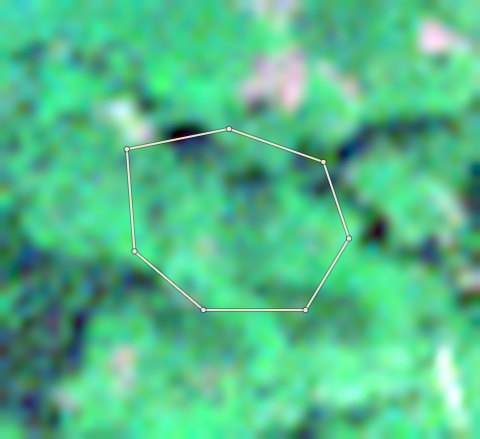
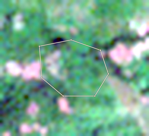
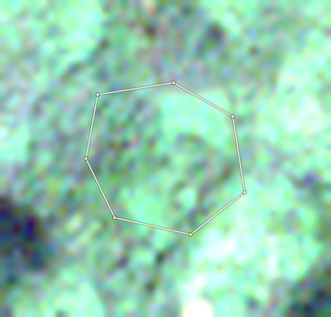
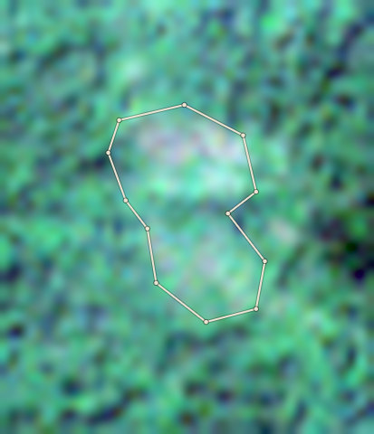
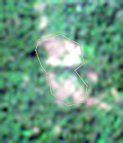
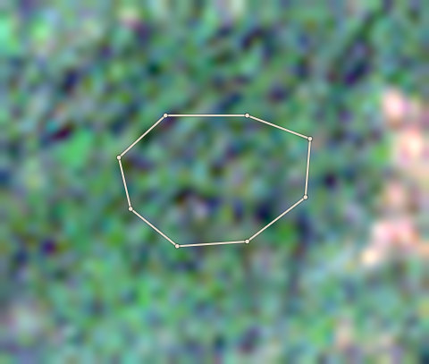
Plot CRS-AFI-0003: the latest selected photoPlot CRS-AFI-0003: the 2020 photo
⇄
2020 photo · 2020-11-10Latest selected photo · 2025-11-24

2020 photo: scene S2B_32NMM_20201110_0_L2A, clouds 0%. Latest selected photo: scene S2B_32NMM_20251124_0_L2A, taken 2025-11-24, clouds 0%.

Photo timeline
  1. Satellite photo of farm CRS-AFI-0003 taken 20 Nov 2020

    2020-21

    20 Nov 2020

  2. Satellite photo of farm CRS-AFI-0003 taken 15 Nov 2021

    2021-22

    15 Nov 2021

  3. Satellite photo of farm CRS-AFI-0003 taken 15 Nov 2022

    2022-23

    15 Nov 2022

  4. Satellite photo of farm CRS-AFI-0003 taken 20 Nov 2023

    2023-24

    20 Nov 2023

  5. Satellite photo of farm CRS-AFI-0003 taken 29 Nov 2024

    2024-25

    29 Nov 2024

CRS-AFI-0003

Check

3.03 ha · farm edge traced by Forestline

  • 0.01 hectares of this plot was forest at the end of 2020 and has lost its trees in 2021. This is below the Stop line, so a person must look at it.

Forestline AI's reading

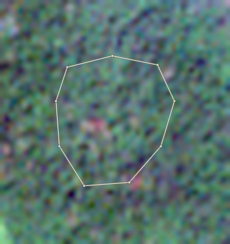
Both photos show a green, uneven canopy inside the farm edge, consistent with cocoa under shade trees. The latest selected photo is blurry but the canopy appears intact. No bare ground, new rows or clearing is visible.

Proof to gather: Year the farmer first planted cocoa on this plot; Old photos or cooperative records showing the farm before 2021; Count of shade tree and cocoa tree ages on the plot; Receipts for seedlings or farm inputs.

Sources: EU Joint Research Centre Global Forest Cover 2020 (V4); University of Maryland Global Forest Change (loss counts are a rough guide, not an exact area) (GFC-2025-v1.13); Global Forest Watch integrated deforestation alerts (latest release); Copernicus Sentinel-2 satellite photos, through Earth Search (S2B_32NMM_20201110_0_L2A (baseline 02.14); S2B_32NMM_20251124_0_L2A (baseline 05.11)); OpenStreetMap protected areas (partial coverage; not a legal map) (snapshot b0efa2a7, 11 areas); Forestline AI photo reading (reads the two photos; the rules decide the result) (Photo reader version 1)
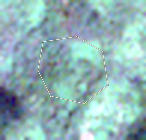
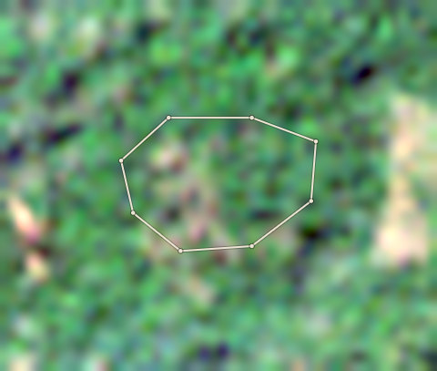
Plot CRS-AFI-0004: the latest selected photoPlot CRS-AFI-0004: the 2020 photo
⇄
2020 photo · 2020-12-05Latest selected photo · 2025-11-24

2020 photo: scene S2A_32NML_20201205_0_L2A, clouds 0%. Latest selected photo: scene S2B_32NMM_20251124_0_L2A, taken 2025-11-24, clouds 0%.

Photo timeline
  1. Satellite photo of farm CRS-AFI-0004 taken 5 Dec 2020

    2020-21

    5 Dec 2020

  2. Satellite photo of farm CRS-AFI-0004 taken 15 Nov 2021

    2021-22

    15 Nov 2021

  3. Satellite photo of farm CRS-AFI-0004 taken 15 Nov 2022

    2022-23

    15 Nov 2022

  4. Satellite photo of farm CRS-AFI-0004 taken 10 Dec 2023

    2023-24

    10 Dec 2023

  5. Satellite photo of farm CRS-AFI-0004 taken 4 Dec 2024

    2024-25

    4 Dec 2024

  6. Satellite photo of farm CRS-AFI-0004 taken 24 Nov 2025

    2025-26

    24 Nov 2025

CRS-AFI-0004

Check

4.01 ha · farm edge traced by Forestline

  • The EU 2020 map calls 72% of this plot forest, but Forestline AI sees cocoa under shade trees. The EU map often calls shaded cocoa forest. No tree loss was found after 2020. Gather: The year the farmer first planted cocoa on this plot; Old photos or cooperative records showing the farm existed before 2021; A count of cocoa tree ages to confirm planting predates the cut-off; GPS-tagged ground photos showing cocoa under shade trees.

Forestline AI's reading

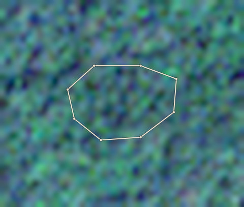
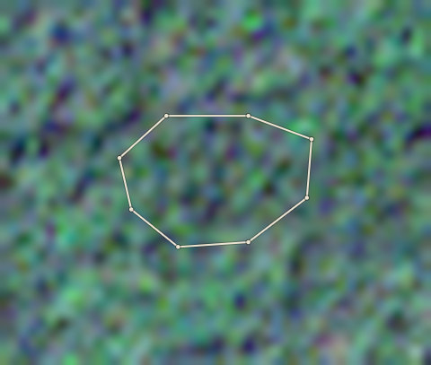
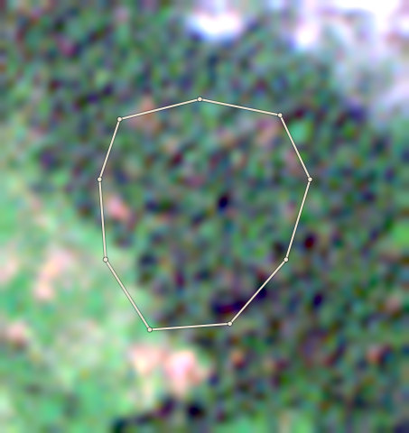
Both photos show an uneven, dappled canopy inside the farm edge. There is no sign of clearing, bare ground or new planting. The canopy appears stable between 2020 and today.

Proof to gather: The year the farmer first planted cocoa on this plot; Old photos or cooperative records showing the farm existed before 2021; A count of cocoa tree ages to confirm planting predates the cut-off; GPS-tagged ground photos showing cocoa under shade trees.

Sources: EU Joint Research Centre Global Forest Cover 2020 (V4); University of Maryland Global Forest Change (loss counts are a rough guide, not an exact area) (GFC-2025-v1.13); Global Forest Watch integrated deforestation alerts (latest release); Copernicus Sentinel-2 satellite photos, through Earth Search (S2A_32NML_20201205_0_L2A (baseline 02.14); S2B_32NMM_20251124_0_L2A (baseline 05.11)); OpenStreetMap protected areas (partial coverage; not a legal map) (snapshot b0efa2a7, 11 areas); Forestline AI photo reading (reads the two photos; the rules decide the result) (Photo reader version 1)
Plot CRS-AFI-0005: the latest selected photoPlot CRS-AFI-0005: the 2020 photo
⇄
2020 photo · 2020-11-10Latest selected photo · 2025-11-24

2020 photo: scene S2B_32NMM_20201110_0_L2A, clouds 0%. Latest selected photo: scene S2B_32NMM_20251124_0_L2A, taken 2025-11-24, clouds 0%.

Photo timeline
  1. Satellite photo of farm CRS-AFI-0005 taken 10 Nov 2020

    2020-21

    10 Nov 2020

  2. Satellite photo of farm CRS-AFI-0005 taken 15 Nov 2021

    2021-22

    15 Nov 2021

  3. Satellite photo of farm CRS-AFI-0005 taken 15 Nov 2022

    2022-23

    15 Nov 2022

  4. Satellite photo of farm CRS-AFI-0005 taken 10 Dec 2023

    2023-24

    10 Dec 2023

  5. Satellite photo of farm CRS-AFI-0005 taken 4 Dec 2024

    2024-25

    4 Dec 2024

  6. Satellite photo of farm CRS-AFI-0005 taken 24 Nov 2025

    2025-26

    24 Nov 2025

CRS-AFI-0005

Clear

3.36 ha · farm edge traced by Forestline

  • No forest cut after 2020 was found in the records we checked, and Forestline AI read nothing different in the photos.

Forestline AI's reading

Both photos show a green, uneven canopy inside the farm edge, consistent with cocoa under shade trees. No bare ground, new rows or clearing is visible. The canopy looks similar in both photos.

Proof to gather: Year the farmer first planted cocoa on this plot; Old photos or cooperative records showing the farm existed before 2021; Count of shade tree and cocoa tree ages on the plot; Receipts for seedlings or inputs if replanting occurred.

Sources: EU Joint Research Centre Global Forest Cover 2020 (V4); University of Maryland Global Forest Change (loss counts are a rough guide, not an exact area) (GFC-2025-v1.13); Global Forest Watch integrated deforestation alerts (latest release); Copernicus Sentinel-2 satellite photos, through Earth Search (S2B_32NMM_20201110_0_L2A (baseline 02.14); S2B_32NMM_20251124_0_L2A (baseline 05.11)); OpenStreetMap protected areas (partial coverage; not a legal map) (snapshot b0efa2a7, 11 areas); Forestline AI photo reading (reads the two photos; the rules decide the result) (Photo reader version 1)
Plot CRS-AFI-0006: the latest selected photoPlot CRS-AFI-0006: the 2020 photo
⇄
2020 photo · 2020-12-05Latest selected photo · 2025-11-24

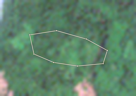
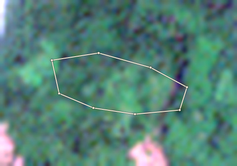
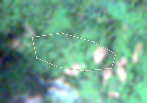
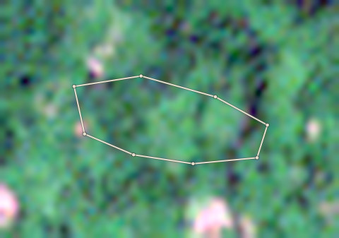
2020 photo: scene S2A_32NML_20201205_0_L2A, clouds 0%. Latest selected photo: scene S2B_32NMM_20251124_0_L2A, taken 2025-11-24, clouds 0%.

Photo timeline
  1. Satellite photo of farm CRS-AFI-0006 taken 5 Dec 2020

    2020-21

    5 Dec 2020

  2. Satellite photo of farm CRS-AFI-0006 taken 10 Dec 2021

    2021-22

    10 Dec 2021

  3. Satellite photo of farm CRS-AFI-0006 taken 15 Nov 2022

    2022-23

    15 Nov 2022

  4. Satellite photo of farm CRS-AFI-0006 taken 10 Dec 2023

    2023-24

    10 Dec 2023

  5. Satellite photo of farm CRS-AFI-0006 taken 4 Dec 2024

    2024-25

    4 Dec 2024

CRS-AFI-0006

Check

3.46 ha · farm edge traced by Forestline

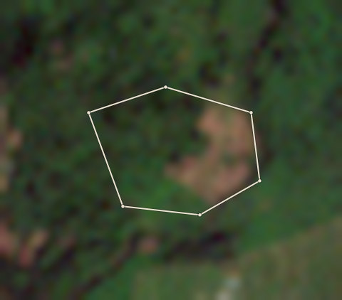
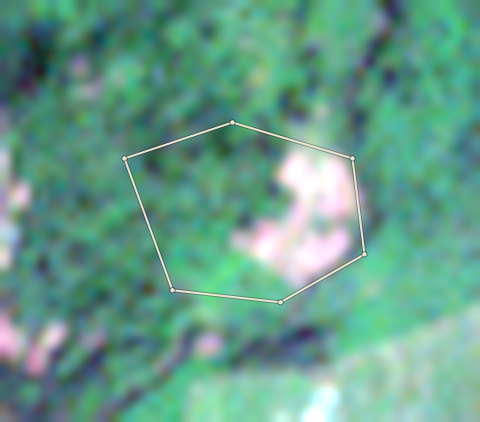
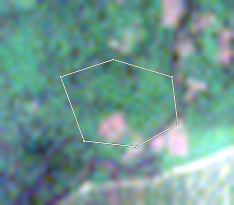
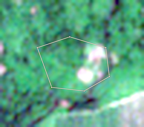
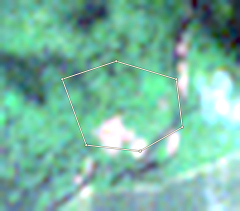
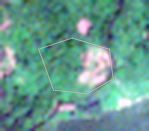
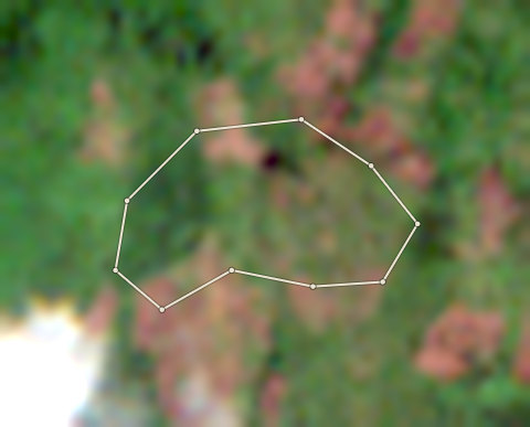
  • 0.33 hectares lost trees after 2020 on land the EU 2020 map does not call forest. Often this is old rubber or cocoa cut and planted again. Ask for the planting year and proof. Forestline AI: In 2020 the plot shows a dappled green canopy typical of cocoa under shade trees, with some brown patches on the right side. The latest selected photo still shows green canopy over most of the plot, but a lighter bare or cleared patch is visible near the bottom of the farm edge. The tree loss record shows 0.327 ha lost in 2025, which matches this small cleared area.
  • Forestline AI is not sure what the two photos show. A person must look at them.

Forestline AI's reading

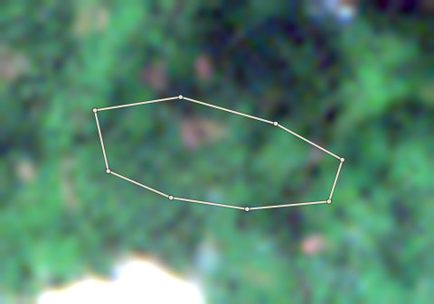
In 2020 the plot shows a dappled green canopy typical of cocoa under shade trees, with some brown patches on the right side. The latest selected photo still shows green canopy over most of the plot, but a lighter bare or cleared patch is visible near the bottom of the farm edge. The tree loss record shows 0.327 ha lost in 2025, which matches this small cleared area.

Proof to gather: Year the farmer first planted cocoa on this plot; Old photos or cooperative records showing the farm before 2020; Reason for the recent small clearing (replanting or other); Receipts for seedlings if new cocoa was planted in 2025; A count of tree ages across the plot.

Sources: EU Joint Research Centre Global Forest Cover 2020 (V4); University of Maryland Global Forest Change (loss counts are a rough guide, not an exact area) (GFC-2025-v1.13); Global Forest Watch integrated deforestation alerts (latest release); Copernicus Sentinel-2 satellite photos, through Earth Search (S2A_32NML_20201205_0_L2A (baseline 02.14); S2B_32NMM_20251124_0_L2A (baseline 05.11)); OpenStreetMap protected areas (partial coverage; not a legal map) (snapshot b0efa2a7, 11 areas); Forestline AI photo reading (reads the two photos; the rules decide the result) (Photo reader version 1)
Plot CRS-AFI-0007: the latest selected photoPlot CRS-AFI-0007: the 2020 photo
⇄
2020 photo · 2020-11-10Latest selected photo · 2026-03-21

2020 photo: scene S2B_32NNN_20201110_0_L2A, clouds 0%. Latest selected photo: scene S2A_32NNN_20260321_1_L2A, taken 2026-03-21, clouds 0%.

Photo timeline
  1. Satellite photo of farm CRS-AFI-0007 taken 20 Nov 2020

    2020-21

    20 Nov 2020

  2. Satellite photo of farm CRS-AFI-0007 taken 30 Nov 2021

    2021-22

    30 Nov 2021

  3. Satellite photo of farm CRS-AFI-0007 taken 10 Dec 2022

    2022-23

    10 Dec 2022

  4. Satellite photo of farm CRS-AFI-0007 taken 20 Nov 2023

    2023-24

    20 Nov 2023

  5. Satellite photo of farm CRS-AFI-0007 taken 4 Dec 2024

    2024-25

    4 Dec 2024

  6. Satellite photo of farm CRS-AFI-0007 taken 21 Mar 2026

    2025-26

    21 Mar 2026

CRS-AFI-0007

Stop

2.97 ha · farm edge traced by Forestline

  • 3 hectares of this plot (100%) lies inside Afi Mountain Wildlife Sanctuary (Wildlife Sanctuary). Do not buy from it for the EU.
  • Forestline AI is not sure what the two photos show. A person must look at them.

Forestline AI's reading

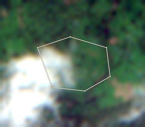
The 2020 photo shows green canopy inside the plot, with some cloud or haze at the bottom edge. The current photo shows most of the plot is bare brown soil, with green trees only around the outside. The canopy inside the farm edge has been removed.

Proof to gather: Year the cocoa was first planted; Reason for clearing (replanting or other use); Receipts for new cocoa seedlings if replanting; Old photos of the farm before clearing; Cooperative or buying-agent records confirming cocoa was grown here before 2020.

Sources: EU Joint Research Centre Global Forest Cover 2020 (V4); University of Maryland Global Forest Change (loss counts are a rough guide, not an exact area) (GFC-2025-v1.13); Global Forest Watch integrated deforestation alerts (latest release); Copernicus Sentinel-2 satellite photos, through Earth Search (S2B_32NNN_20201110_0_L2A (baseline 02.14); S2A_32NNN_20260321_1_L2A (baseline 05.12)); OpenStreetMap protected areas (partial coverage; not a legal map) (snapshot b0efa2a7, 11 areas); Forestline AI photo reading (reads the two photos; the rules decide the result) (Photo reader version 1)
Plot CRS-AFI-0008: the latest selected photoPlot CRS-AFI-0008: the 2020 photo
⇄
2020 photo · 2020-11-20Latest selected photo · 2026-03-21

2020 photo: scene S2B_32NMN_20201120_0_L2A, clouds 0%. Latest selected photo: scene S2A_32NMN_20260321_0_L2A, taken 2026-03-21, clouds 0%.

Photo timeline
  1. Satellite photo of farm CRS-AFI-0008 taken 20 Nov 2020

    2020-21

    20 Nov 2020

  2. Satellite photo of farm CRS-AFI-0008 taken 25 Nov 2021

    2021-22

    25 Nov 2021

  3. Satellite photo of farm CRS-AFI-0008 taken 10 Dec 2022

    2022-23

    10 Dec 2022

  4. Satellite photo of farm CRS-AFI-0008 taken 14 Jan 2024

    2023-24

    14 Jan 2024

  5. Satellite photo of farm CRS-AFI-0008 taken 4 Dec 2024

    2024-25

    4 Dec 2024

  6. Satellite photo of farm CRS-AFI-0008 taken 21 Mar 2026

    2025-26

    21 Mar 2026

CRS-AFI-0008

Stop

2.26 ha · farm edge traced by Forestline

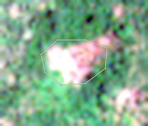
  • 0.74 hectares of this plot was forest at the end of 2020 and has lost its trees in 2025. That is 33% of the plot. Do not buy from it for the EU.
  • Satellite alerts show about 1.5 hectares of new tree loss in this plot since 2021. The latest alert is from 2026. A person must look at the latest selected photo.
  • This plot is 450 metres from Afi Mountain Wildlife Sanctuary (Wildlife Sanctuary). A person must check that none of it is inside.
  • Forestline AI is not sure what the two photos show. A person must look at them.

Forestline AI's reading

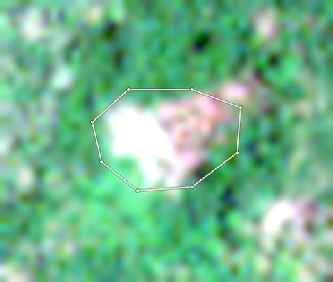
The 2020 photo shows a dappled, uneven canopy typical of cocoa under shade trees. The current photo also shows green canopy but with a bright white and pinkish bare patch inside the left and right parts of the farm edge. This suggests a partial clearing or exposed ground within the plot, though most of the plot is still under tree cover.

Proof to gather: The year the farmer first planted cocoa on this plot; Old photos or cooperative records showing the farm existed before 2021; A field visit to check whether the bare patch is replanting, a building or a natural gap; Seedling receipts if any replanting took place; GPS-tagged photos of the cleared area and surrounding shade trees.

Sources: EU Joint Research Centre Global Forest Cover 2020 (V4); University of Maryland Global Forest Change (loss counts are a rough guide, not an exact area) (GFC-2025-v1.13); Global Forest Watch integrated deforestation alerts (latest release); Copernicus Sentinel-2 satellite photos, through Earth Search (S2B_32NMN_20201120_0_L2A (baseline 02.14); S2A_32NMN_20260321_0_L2A (baseline 05.12)); OpenStreetMap protected areas (partial coverage; not a legal map) (snapshot b0efa2a7, 11 areas); Forestline AI photo reading (reads the two photos; the rules decide the result) (Photo reader version 1)
Proof pack

The files an EU buyer would receive.

Built from this run. Farms that are Stop, unchecked or not reviewed are left out of the farm location file and listed. Bag weights are each farm's estimated season capacity (area times a published average yield), because no bags were bought from these farms.

Shipment S-001: Blocked

Something stops the handoff. Fix the blockers below.

  • Lot L-002 (10,422 kg) is not kept apart: 7 bag groups trace to a plot that is not cleared. Mixed goods cannot be fixed by leaving plots out of the farm location file. Take lot L-002 out of this shipment, or resolve its farms first.
  • 7 plots behind these goods are not in the farm location file: CRS-AFI-0001 (Stop), CRS-AFI-0002 (Stop), CRS-AFI-0003 (Check, no one has accepted it), CRS-AFI-0004 (Check, no one has accepted it) and 3 more. The goods and the producer locations do not match. Resolve these plots, or take the lots that hold their bags out of the shipment.

Nobody approved this case's shipment. It is a real run on public map data, so there is no approval to show.

  1. 1. Satellite check: Clear, Check or Stop for each farm.
  2. 2. A person's review: Every Check, and every farm where the maps and Forestline AI disagree.
  3. 3. Traceability: Every bag traces to a cleared farm.
  4. 4. Shipment approval: Until someone approves the handoff, the pack is a draft.

Want this for your own farms? Get started or try a Check.