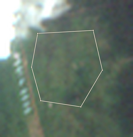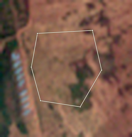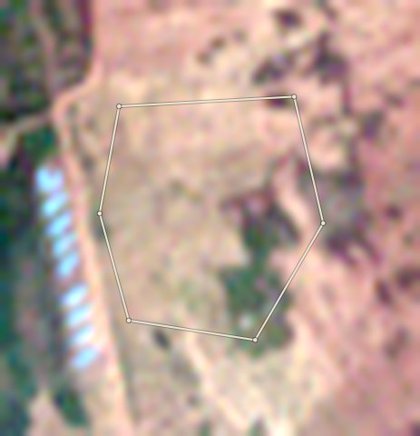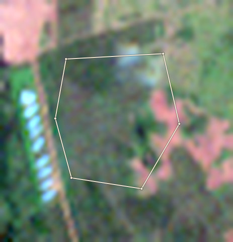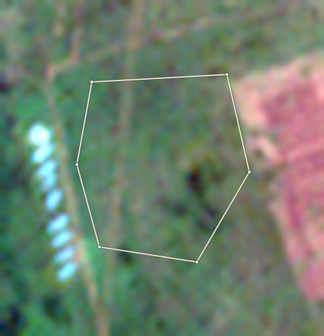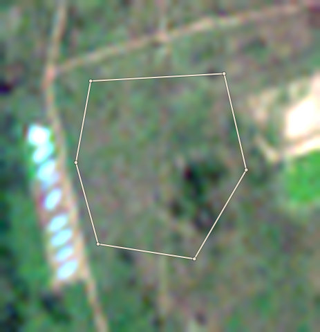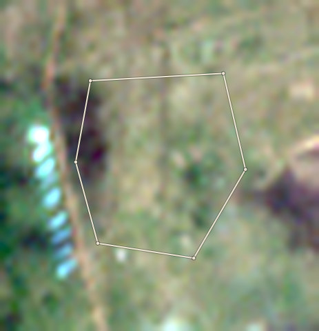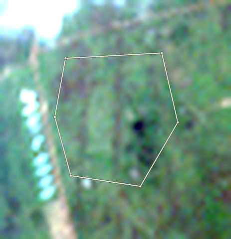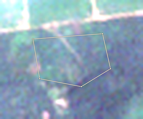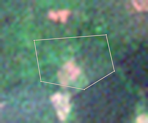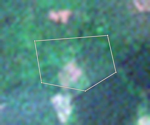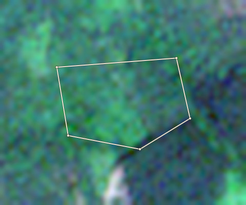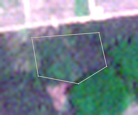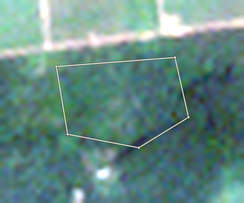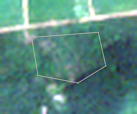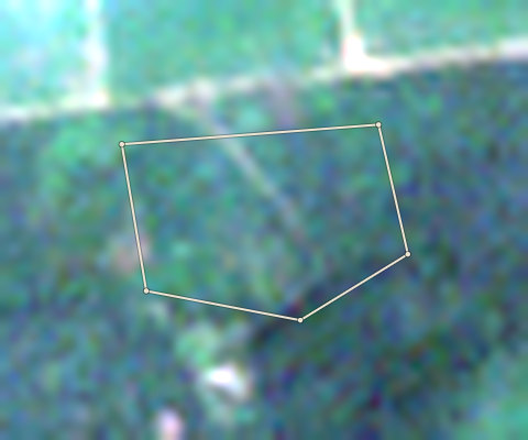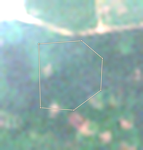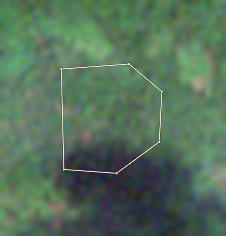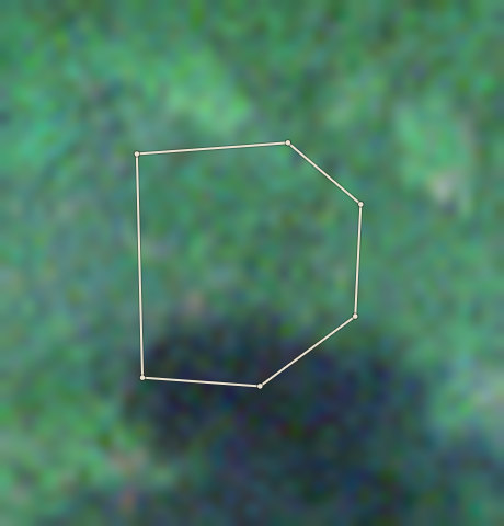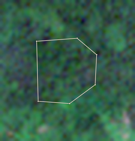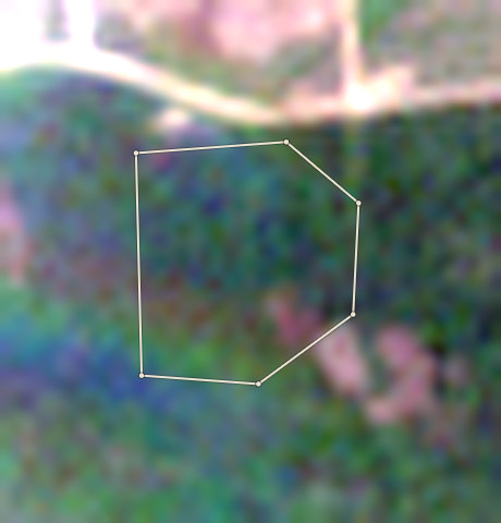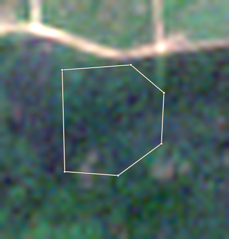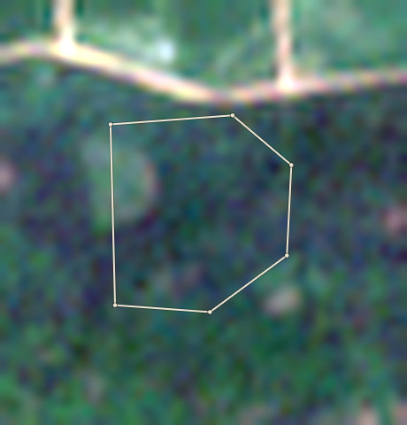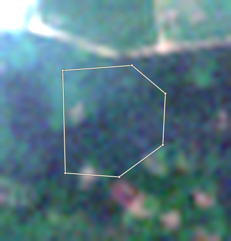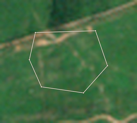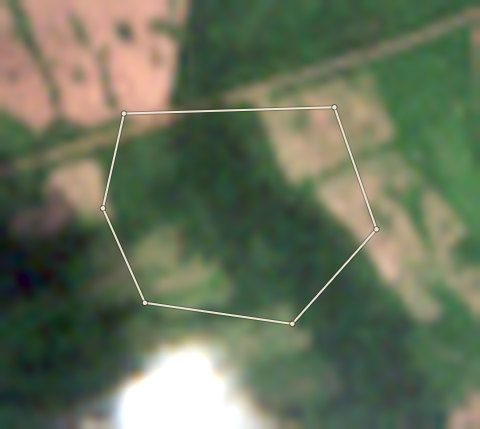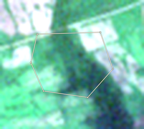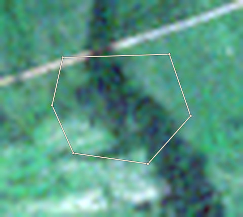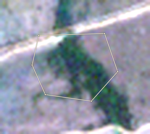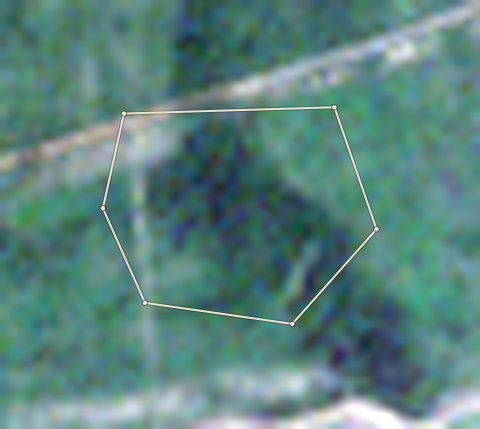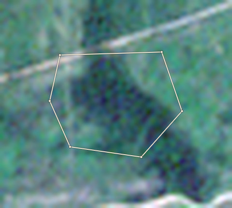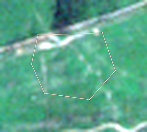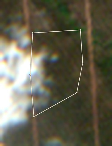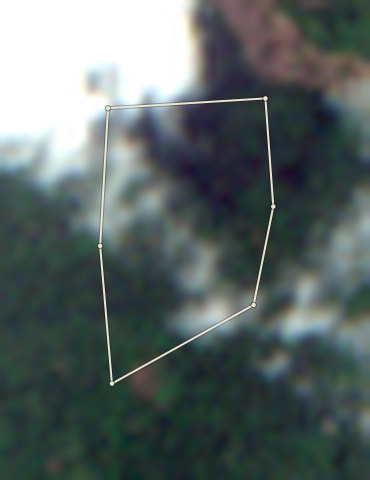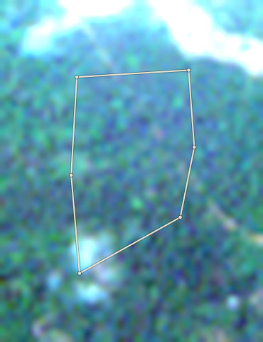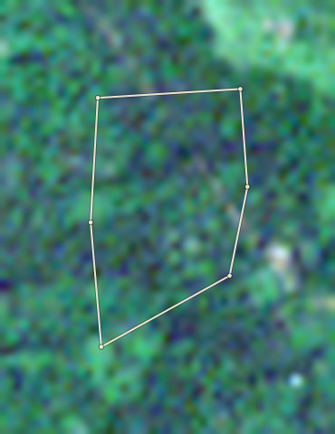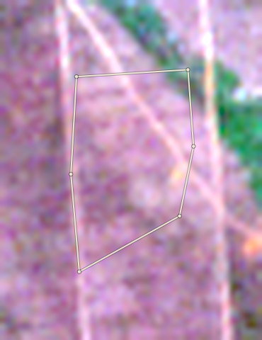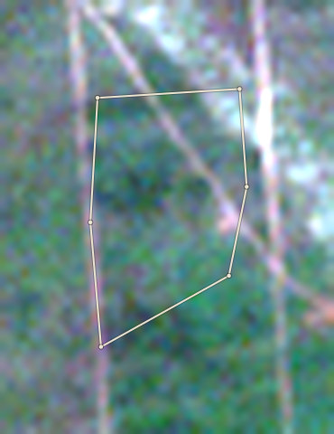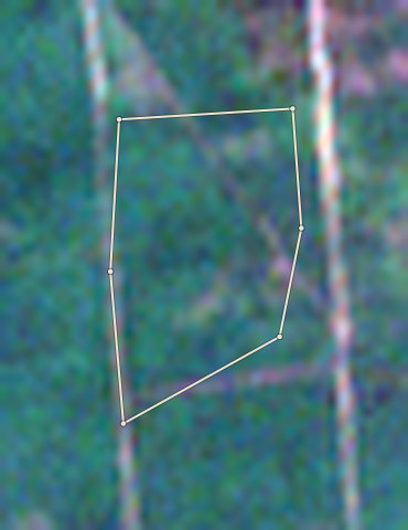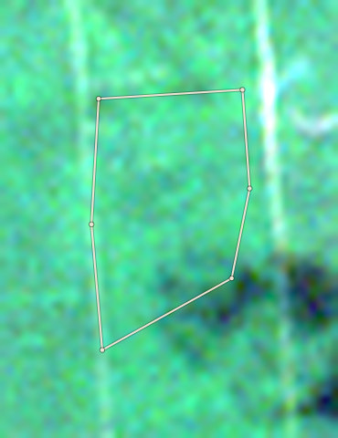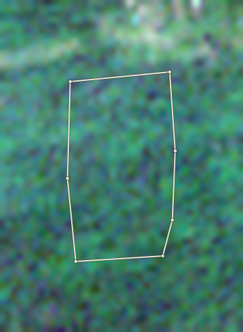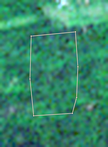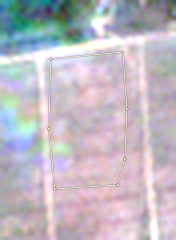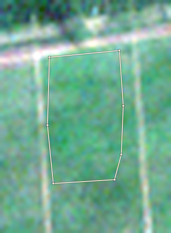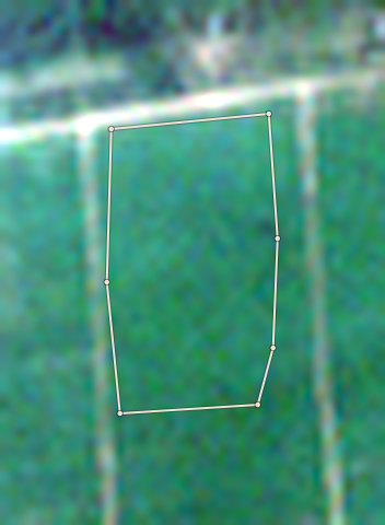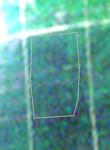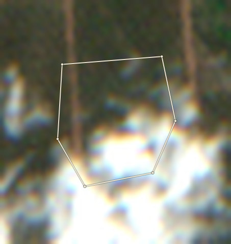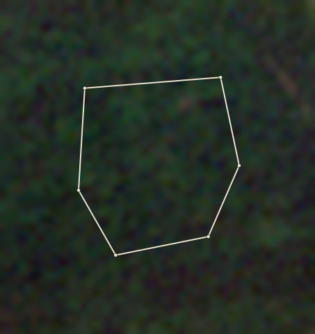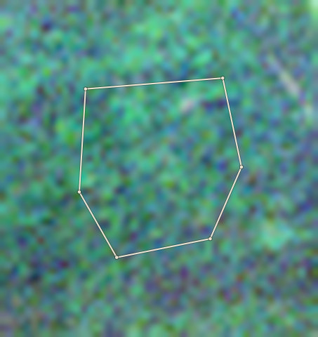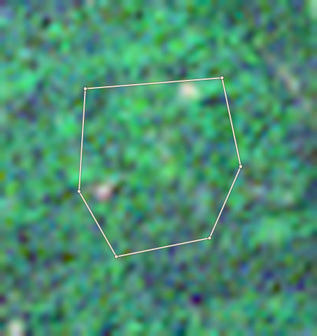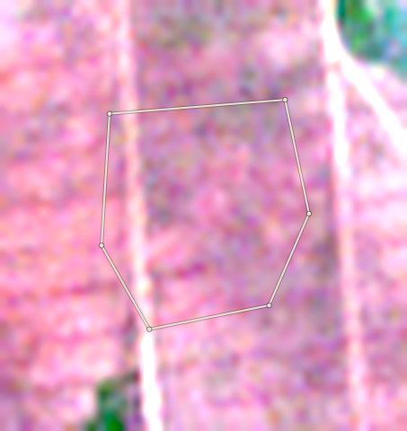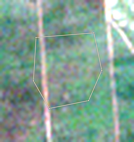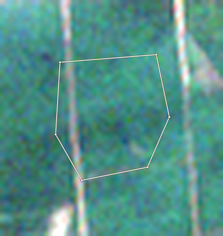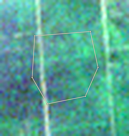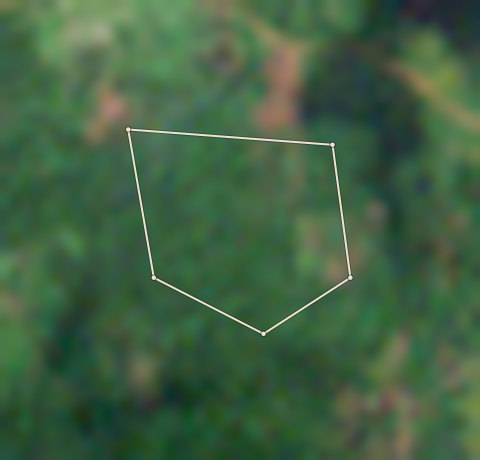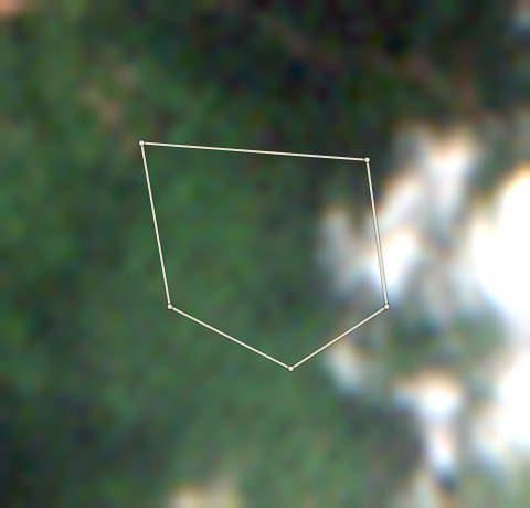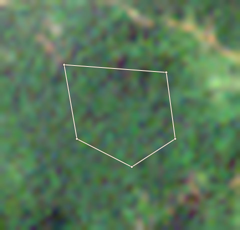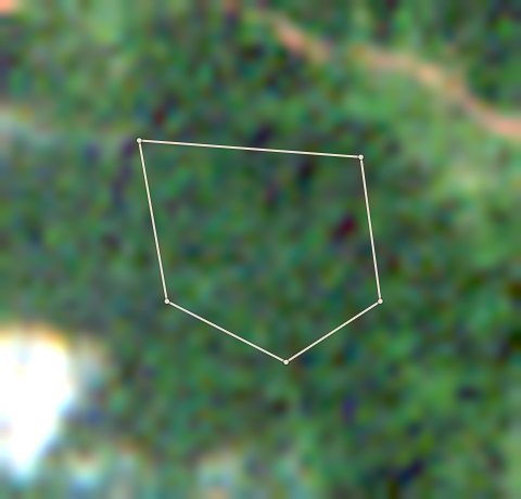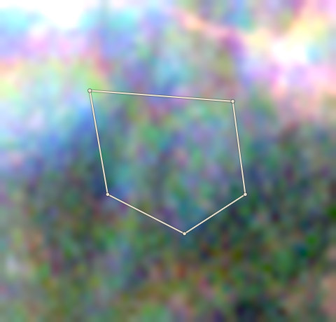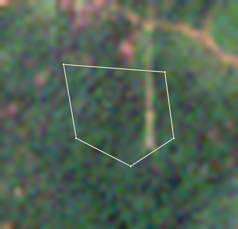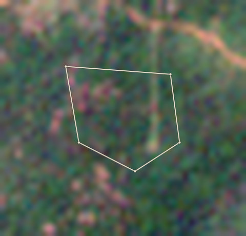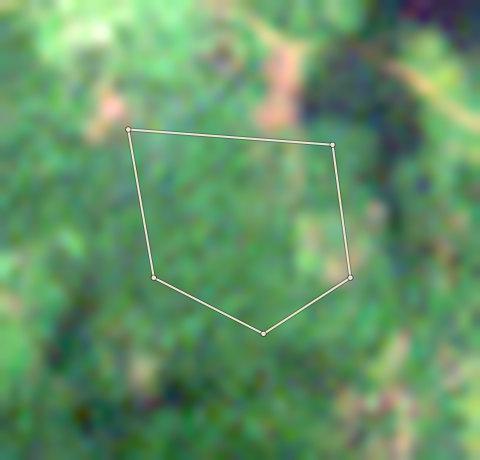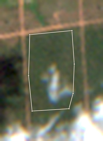
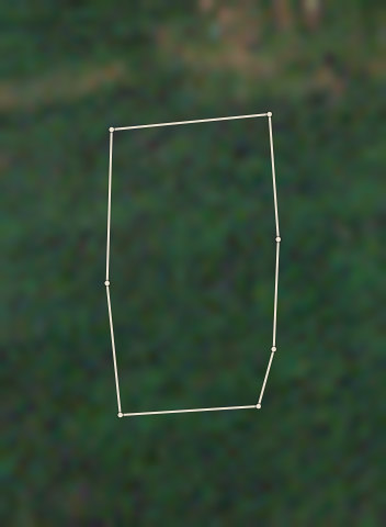
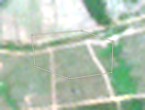
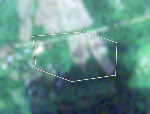
2020 photo: scene S2A_31NFH_20201101_0_L2A, clouds 2%. Latest selected photo: scene S2C_31NFH_20260315_0_L2A, taken 2026-03-15, clouds 0%.
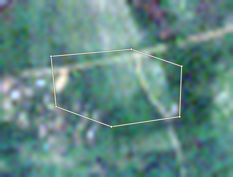
2020-21
26 Dec 2020
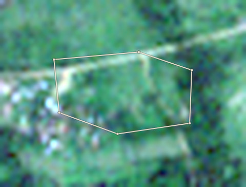
2021-22
6 Nov 2021
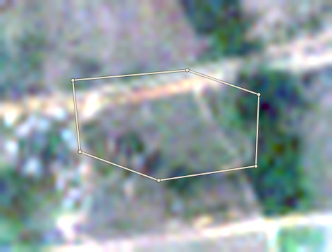
2022-23
1 Mar 2023
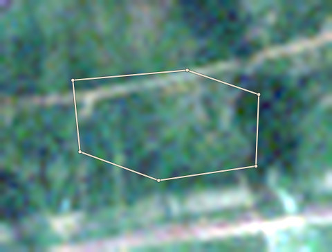
2023-24
21 Dec 2023
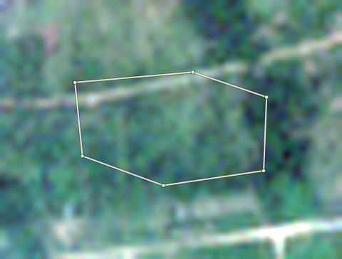
2024-25
25 Nov 2024
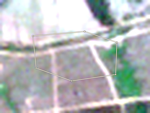
2025-26
15 Mar 2026
OND-OLW-0001
Check5.09 ha · farm edge traced by Forestline
- Forestline AI is not sure what the two photos show. A person must look at them.
Forestline AI's reading
The 2020 photo shows a dappled green canopy with scattered tall trees, typical of cocoa under shade. The current photo shows much less canopy, with visible tracks and bare or light-coloured ground between remaining vegetation. The shade cover appears to have thinned significantly. The facts record no tree loss after the cut-off date.
Proof to gather: Year the farmer first planted cocoa on this plot; Old photos or cooperative records showing the farm before 2020; Reason for shade-tree removal or thinning, with dates; Receipts for any recent seedling purchases; GPS-tagged ground photos of current cocoa trees and canopy.
Sources: EU Joint Research Centre Global Forest Cover 2020 (V4); University of Maryland Global Forest Change (loss counts are a rough guide, not an exact area) (GFC-2025-v1.13); Global Forest Watch integrated deforestation alerts (latest release); Copernicus Sentinel-2 satellite photos, through Earth Search (S2A_31NFH_20201101_0_L2A (baseline 02.14); S2C_31NFH_20260315_0_L2A (baseline 05.12)); OpenStreetMap protected areas (partial coverage; not a legal map) (snapshot b0efa2a7, 11 areas); Forestline AI photo reading (reads the two photos; the rules decide the result) (Photo reader version 1)