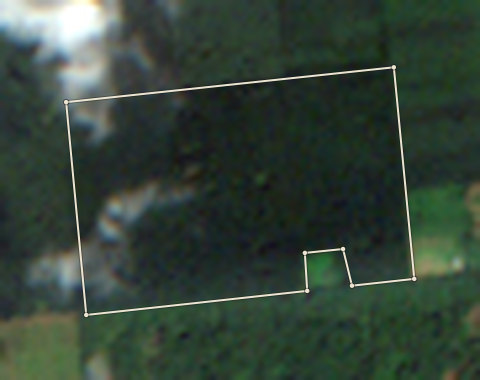
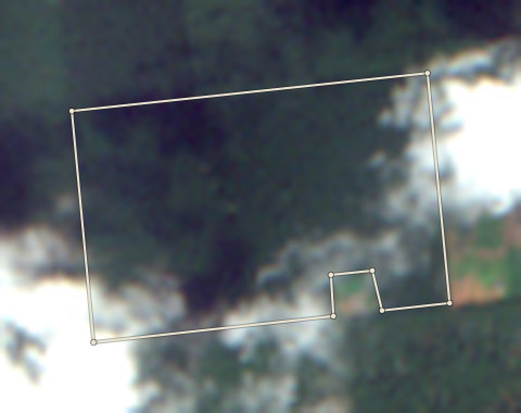
2020 photo: scene S2B_31NGH_20201103_0_L2A, clouds 0%. Latest selected photo: scene S2A_31NGH_20251104_0_L2A, taken 2025-11-04, clouds 0%.
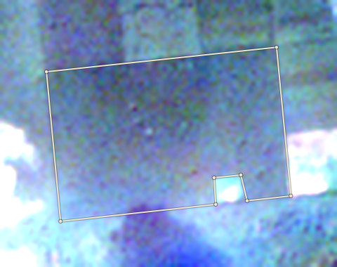
2020-21
23 Nov 2020
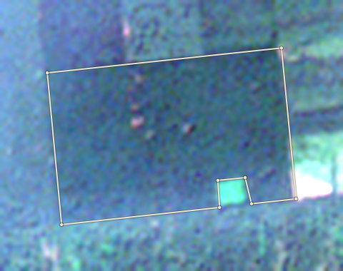
2021-22
18 Nov 2021
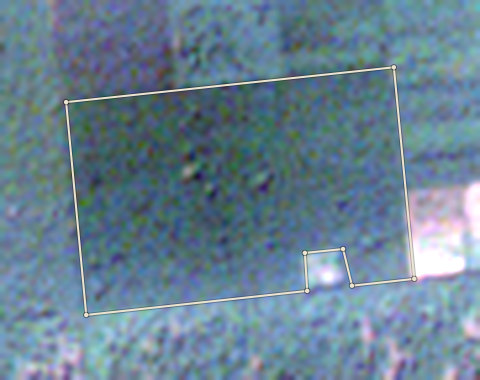
2022-23
28 Dec 2022
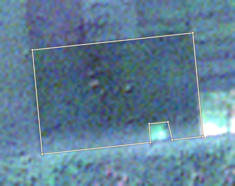
2023-24
13 Dec 2023
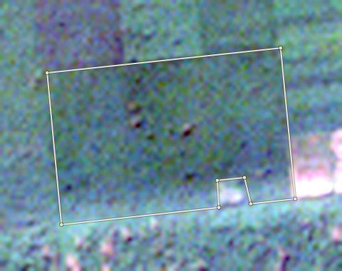
2024-25
27 Dec 2024
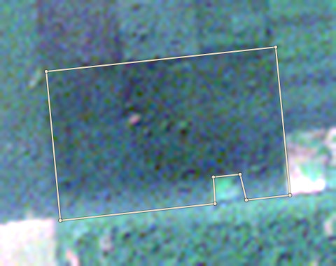
2025-26
4 Dec 2025
EDO-BNN-0001
Clear24.78 ha · farm edge from OpenStreetMap
- No forest cut after 2020 was found in the records we checked, and Forestline AI read nothing different in the photos.
Forestline AI's reading
Both photos show dense, continuous dark-green canopy inside the farm edge. Some cloud is visible at the edges but the main plot area is clear in both photos. No clearing, bare ground or new planting is visible. The canopy appears unchanged.
Sources: EU Joint Research Centre Global Forest Cover 2020 (V4); University of Maryland Global Forest Change (loss counts are a rough guide, not an exact area) (GFC-2025-v1.13); Global Forest Watch integrated deforestation alerts (latest release); Copernicus Sentinel-2 satellite photos, through Earth Search (S2B_31NGH_20201103_0_L2A (baseline 02.14); S2A_31NGH_20251104_0_L2A (baseline 05.11)); OpenStreetMap protected areas (partial coverage; not a legal map) (snapshot b0efa2a7, 11 areas); Forestline AI photo reading (reads the two photos; the rules decide the result) (Photo reader version 1)